
PR-G 178 Maquino Largaño Route

Along this circular route covering almost fifteen kilometres, we visit enormously important heritage sites, including an ancient necropolis and Santo Estevo de Ribas de Sil monastery. We also discover one of the Sil Canyon's steep sides.
 Directions
 "Maquino largaño" means ''long pathway'' in Barallete. Barallete is professional slang used by itinerant tradespeople (knife grinders, rope makers, wafer sellers, etc.) to avoid being understood by those outside the trade, allowing them to speak freely in front of anyone.
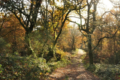
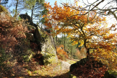
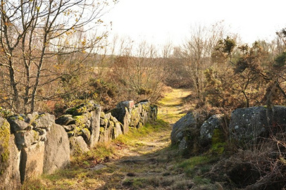
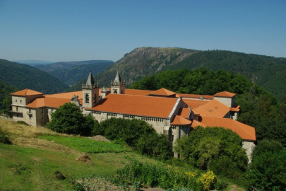
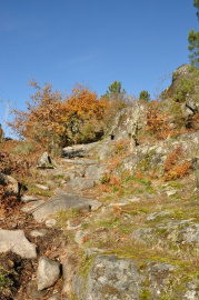
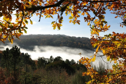
This route begins in the village of Luíntra. We set off through areas populated with indigenous trees and meadows until, after a steep descent, we reach Santo Estevo de Ribas de Sil monastery. From there, we continue down the path along one of the Sil Canyon's steep sides, through long-standing chestnut trees and passing over streams. In certain sections, the vegetation allows us excellent views of the river canyon, more than three hundred metres vertically below us. Further on, we leave the canyon side and reach the surroundings of a necropolis dating back to the third and fourth centuries BC. Lastly, after passing through the hamlet of Monteverde, we walk down an old stony pathway which takes us back to Luíntra, where the route ends.


Don't miss!
Be sure not to miss the inside of Santo Estevo monastery, now a National Tourism Parador hotel.
PRG-178 Maquino Largaño Route
Equipment and Services


Accessibility


 What would you improve?