
PR-G 179 River Miño Route

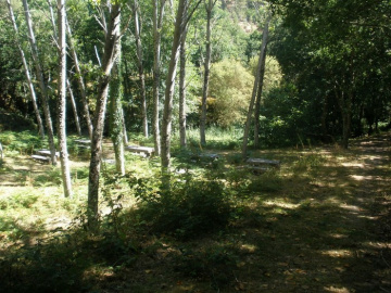
This eleven-kilometre linear route takes us down through indigenous forests, from A Peroxa to the level of the river Miño. We then follow its course upstream to Os Peares.
 Directions
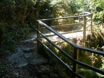
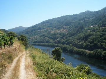
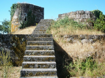
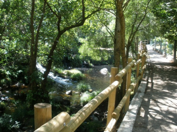
 This route begins close to the village of A Peroxa, before gradually dropping down to the banks of the A Barra river, mostly protected by a riverbank forest. After just over one kilometre, we glimpse A Peroxa castle, which offers a fine panoramic view of the surrounding scenery. Further on, we come to the river Miño, which we follow upstream for a few kilometres. Along this stretch, we will be protected by a canopy of characteristic riverside trees and will also see a number of terraces where vines are grown. Finally, we come to the Os Peares river beach, which marks the end of the route.


Don't miss!
In the summer, we recommend taking swimwear for this route, allowing you to swim and cool off at the Os Peares river beach. Not too far from Os Peares, we can also find the O Pombeiro viewpoint, offering breathtaking panoramic views over the Sil Canyon.
PRG-179
Equipment and Services


Accessibility


 What would you improve?