
PR-G 192 Campodola Geological Fold Route

This seven-kilometre route runs down a spectacular valley from the hamlet of Leixazós to Campos de Vila. It also passes under the monumental Campodola Geological Fold.
 Directions
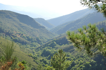
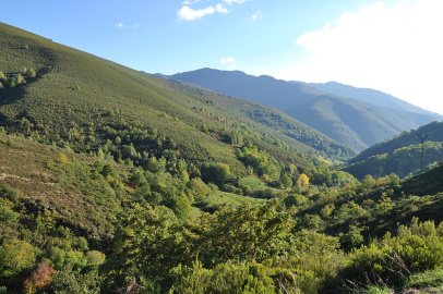
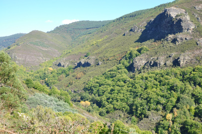
 This hiking route comprises two very different sections. The first section, starting from Leixazós, runs along the valley of the river Ferreiriño, offering spectacular views of both the valley and the formations of the Campodola-Leixazós Geological Fold.
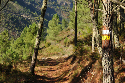
The path passes through chestnut and oak trees and indigenous vegetation. The second section of the route swaps the valley for dirt tracks through pine trees, in the direction of Campos de Vila. This is a gentle descent towards the valley of the river Quiroga. This route is set against a very attractive backdrop, which can be enjoyed along the entire length of the trail.

Don't miss!
We recommend visiting the Campodola viewpoint, where you will find an information panel explaining the Fold and the area taken in by the route.
PR-G 192 Campodola Geological Fold Route
Equipment and Services


Accessibility


 What would you improve?