Trail 2 - Trail Running Center Castro Caldelas

Blue trail: intermediate - 20 km - 850 m elevation gain
 Directions
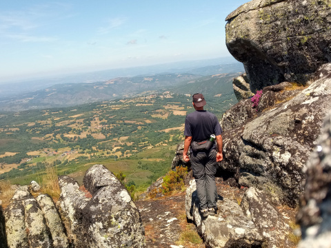
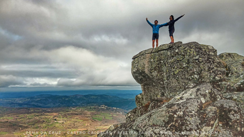
 This trail climbs all the way to the municipality’s highest point (A Pena da Cruz), at an altitude of 1,200 m.
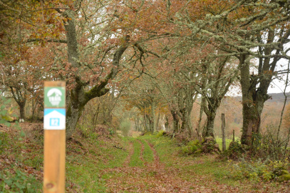
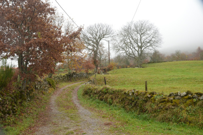
The trail first descends next to the church and ruins of the monastery of San Xoán de Camba to the Edo River, but then ascends along paths and tracks next to the abandoned village of Piñeira and further on to O Burgo, where you will find the Romanesque church of the Asunción do Burgo.
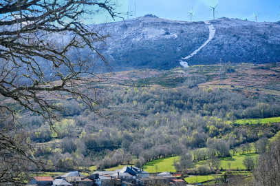
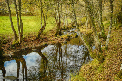
From this point, the trail continues along the millenary Roman Via Nova, parallel to the Serra do Burgo, between meadows and stone walls until Casmartiño, where it begins an ascent to the mountain range, passing through the villages of Filgueiras and Portela. After a stretch of gentle ascent, a firebreak begins, which climbs 300 m in 2 km. The spectacular views are followed by a steep descent through mountain landscapes with large rocks, forest areas and paths until the banks of the Edo River. The paths run along the river through riverside forests and old flour mills until the last ascent to Castro Caldelas.
RUTA 2 - TRC CASTRO CALDELAS
Equipment and Services


 What would you improve?