PR-G 224 A Teixeira Route
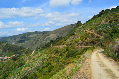
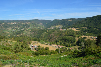
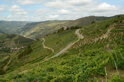
This circular route covering almost fourteen kilometres allows us to discover the striking landscapes formed by the vineyards on the sides of the Sil and Mao Canyons. We will also enter the canyon along the track which explores it for a few kilometres.
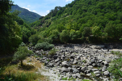
The route starts out from the village of A Teixeira, located on the dividing line between two valleys characterised by vineyard landscapes. We begin to climb up slowly along an old pathway, making our way into an indigenous forest of oak trees and other species. We then begin to walk down to the village of Cristosende, where vineyards become increasingly prominent. We will cross them along pathways surrounded by stone walls, taking in striking views of the Mao canyon and the river Sil as we descend. Further down, we reach a point where our pathway widens, and we can choose between walking down to the river Mao or continuing as we are. If we continue to follow the path, we enter the Canyon proper and can discover different points for admiring a good part of the Canyon's expanse. Further along, we leave the path, climbing up once again to pass through a number of vineyards and reach A Teixeira, where the route ends.
PR-G 224 Ruta de A Teixeira
Equipment and Services
Accessibility
Information and contact

A Teixeira
Ourense
 Directions


 What would you improve?