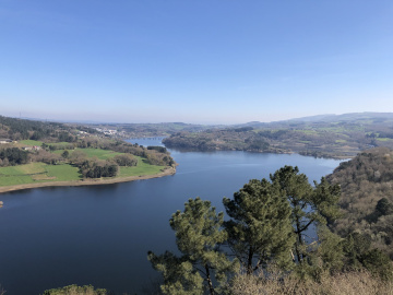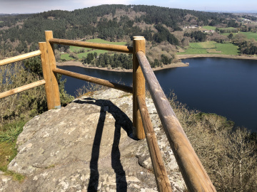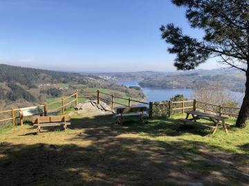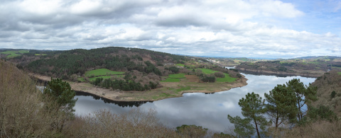
Viewpoint at Cabodevila (Penedo do Bico)
This magical location is surrounded by places that can transport you back to various historical eras.
Starting at the extreme left, we can see the location of the Castro culture site known as Suvirxe (Galician for "below the Virgin"). Continuing towards the right, we can see the town of Portomarín, which in the 1960s had to be moved to higher ground, to avoid being submerged when the Belesar dam was constructed.
Just below the viewpoint there is the historic village of Ferreiroá. This village was also submerged by construction of the dam. Some of the walls of the local houses can still be seen, and even more of the village become visible at times when the reservoir level is low.
Continuing towards the right, we can see how the Loio River flows into the Miño River, and we can make out the path of the French Route of the Way of St James.
One traditional name for this location was Penedo do Bico. This name is derived from a cup-shaped depression found in the rock, and according to a traditional legend, the blood of those sacrificed to the gods was poured into it.
Don't miss!
The PR-G 249 hiking route ends at this viewpoint, which runs parallel to the river Miño, delighting us with spectacular views.
 Directions


 What would you improve?