
PR-G 191 A Seara to Rugando Route

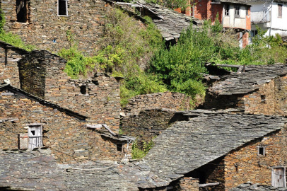
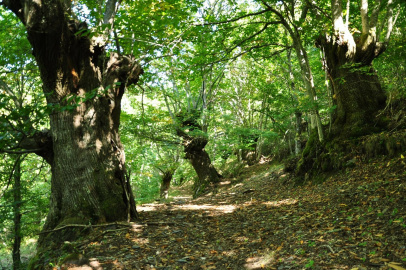
This pleasant eighteen-kilometre route runs down through the Soldón valley, following the course of the river through meadows and long-standing chestnut trees. We will pass through the villages of Soldón and Outeiro, where houses still retain their rural appearance, so typical of this region, with stone walls and rooves made of slabs of slate.
 Directions
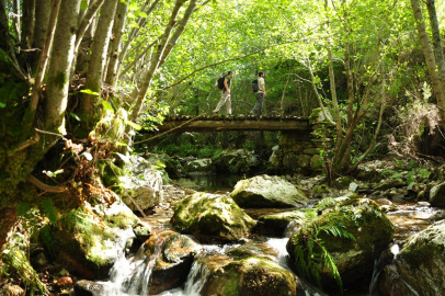
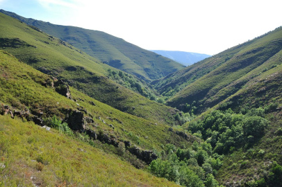
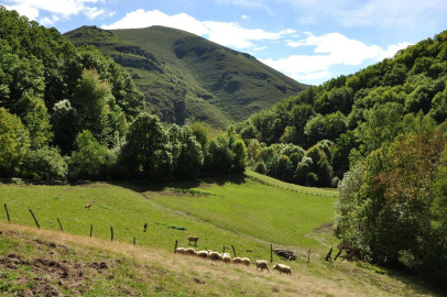
 This route starts close to the road leading to A Seara: a pretty mountain village where, in recent years, many of the houses have been refurbished and accommodation is offered. At first, the trail is fairly flat, but there is soon a steep descent to the level of the river Soldón, which at this point is still a stream. Further along, we pass close by the hamlet of O Soldón, before making our way down to O Mazo, from where we share a section of the PR-G 218 Montouto Circular route. The route winds its way through meadows and long-standing chestnut trees, close to the course of the river until, at around the eighth kilometre, it begins to climb up the slopes of the Cocedos mountains to then drop down to Vilarmel. From there, in only a few hundred metres we reach the end of the route, close to the village of Rugando.

Don't miss!
In the hamlet of Bendilló, close to the end of this route, we can find an old traditional mill for producing olive oil. A visit is highly recommended if you would like to learn more about olive-growing in this region and how this liquid is produced.
PR-G 191 A Seara to Rugando Route
Equipment and Services

Accessibility


 What would you improve?