
PR-G 141 Gold and Royal Road Route

This is a circular route that begins in the village of Margaride, which is next to the ancient Roman gold mining complex known as Covas do Medo.
 Directions
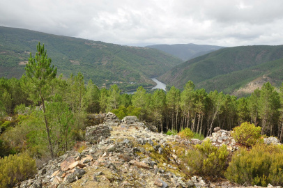
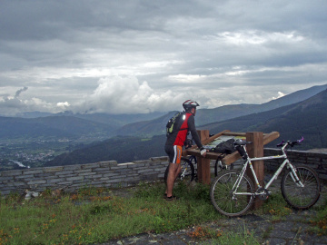
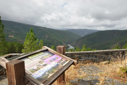
 The trail begins with an incline that leads to the village of As Covas. From there, a path through the forest takes you to a difficult path upwards until reaching the top of a hill where the remains of the Castro Dares site is found, along with a viewpoint that offers a spectacular panoramic view over the Sil River, Quiroga Valley, and the surrounding mountains.
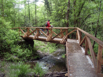
After taking some time to rest, continue on the path through some small valleys with gentle slopes until you connect with the path of the Royal Road (Camiño Real), which is marked as part of the Winter Route of the Way of St James. From here you pass along the north side of the village of Riomaior. There you will cross the Pontón do Rigueiro bridge, a historic structure that was recently restored, and then you will return to Margaride along the historic Camiño da Misa road.
PR-G 141 Ruta do Ouro e Camiño Real
Equipment and Services

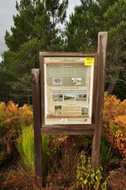
Information and contact

Quiroga
Lugo
 What would you improve?