Trail 3 - Trail Running Center Castro Caldelas

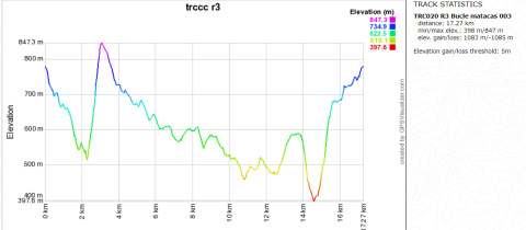
Red trail: advanced - 17 km - 1,080 m elevation gain
 Directions
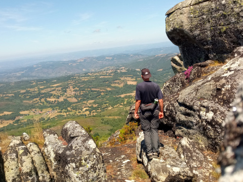
 The trail starts descending through oak and chestnut forests until crossing the Edo River, where the descent continues through the Fervenzas (waterfalls) area until a vertical ascent to the top of the Serra do Sobredo, which has a view of the Edo River Canyon and the town of Castro Caldelas.
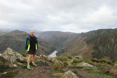
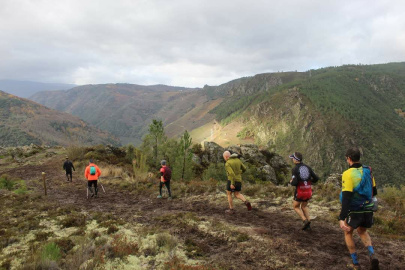
The trail then descends towards the Sobredo River and then runs in parallel through its forests, eventually turning off towards the slate villages of the parish of Alais and then away again towards the old slate quarry road, running through the Sil Canyon to As Penas de Matacás. From there, through the foothills of the Abeleda Valley, among vineyards, the trail descends to Celeirón, on the banks of the Edo, for a new vertical ascent to join the PR-G 213 Ruta dos Bosques Máxicos (Magic Forests Route) and finally back to Castro Caldelas.
RUTA 3 - TRC CASTRO CALDELAS
Equipment and Services


 What would you improve?