
PR-G 14 Loio River Route

NOTICE: PR-G 14 Loio Route TEMPORALLY CERRATED
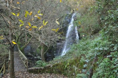
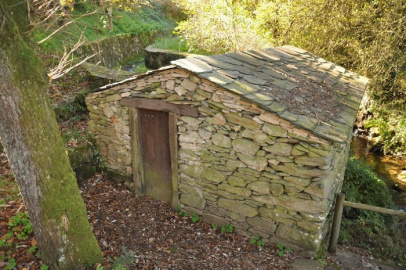
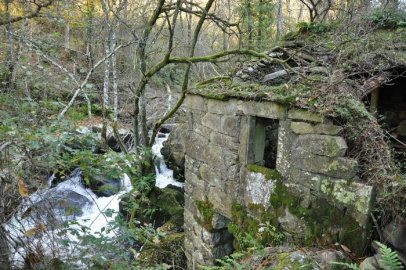
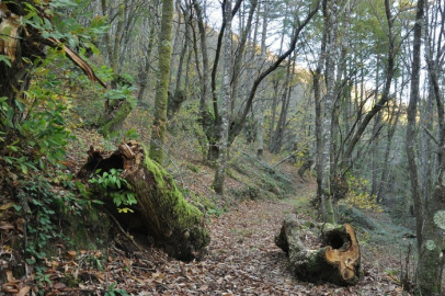
This seven-kilometre linear route runs down the valley of the river Loio. Along the way, we will discover beautiful areas of indigenous vegetation, old mills and crashing waterfalls.
 Directions
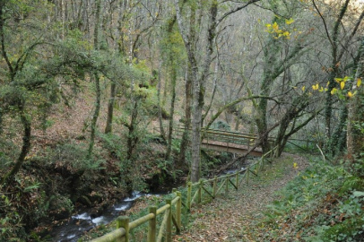
 Setting off from the village of Paradela, we start to make our way down one side of the Loio valley towards the level of the river. Continuing along, navigating a few slopes, we will see a few restored mills before crossing over to the right bank of the river. Further on, we climb up a small slope to the northern side of the valley, passing close by Loio monastery. Lastly, we continue along a tarmac road until we arrive at the mouth of the river Miño.


Don't miss!
Close to the end of the route, we find the town of Portomarín. Before 1962, this town was located further down the slope. However, when Belesar reservoir was built, the water level rose and many buildings were moved stone by stone to their current locations. A visit is highly recommended, especially to the tenth-century San Juan de Porto Marín church.
PR-G 14 Loio River Route
Equipment and Services


Accessibility


 What would you improve?