
PR-G 182 Gabín Birch Forest Route

NOTICE: It is not advisable to take the PR-G 182 Bidueiral de Gabín Route due to the risk of fire.
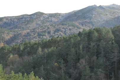
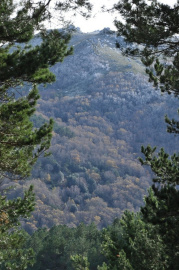
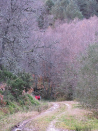
Along forest trails and dirt tracks, this circular route covering just over nine kilometres explores the important Gabín or Montederramo Birch Forest, belonging to the Natura 2000 network. This birch forest holds enormous botanical importance, as it is one of the most southerly in Europe.
 Directions
 The start of the route can be reached along a forest trail which leaves from the village of A Mogaínza; it is generally in good condition and is accessible by car.
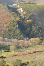
This route begins along a track which climbs up gently amongst pine trees, leading us to the upper reaches of the valley. Once at the top, we enter the birch forest proper, starting to make our way down to the lower sections of the slope. At this point, we discover a dense forest of birch, oak and holly trees, alongside other characteristic undergrowth species, comprising the Montederramo Birch Forest: one of the southernmost examples of Euro-Siberian vegetation in Europe. This area is part of the Natura 2000 network, owing to its enormous botanical wealth. Finally, we walk around a hill and begin to head back, over a few gentle slopes, towards our starting point.


Don't miss!
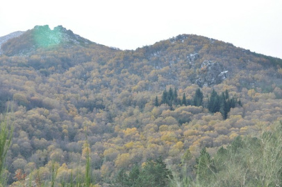
As an extension of this route, the Saint's Route runs along the north face of the San Mamede mountains. It climbs up through forests of birch, chestnut and old oak trees to the chapel of the San Mamede mountains (1,606 m.): a good spot to rest and take in the marvellous scenic views. For further information, contact the Montederramo Tourist Office.
It is well worth stopping in Montederramo to visit the twelfth-century Santa María monastery.
PR-G 182 Ruta del bidueiral de Gabín
Equipment and Services


Accessibility


 What would you improve?