
PR-G 183 Belesar Vineyards Route

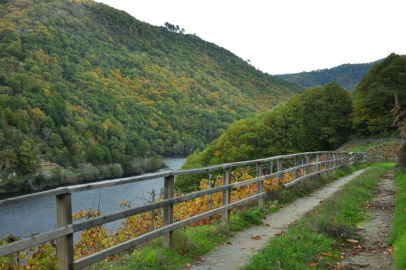
A little over four kilometres long, this linear route makes its way down to the level of the river Miño along well-kept tracks and pathways, leading us through vineyards to finally arrive at the hamlet of A Veiga, some way downstream.
 Directions
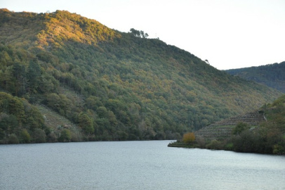
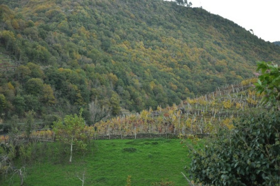
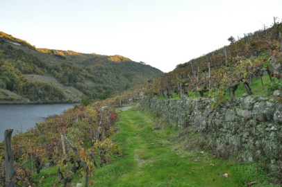
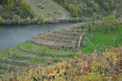
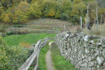
 This route starts in the village of Belesar, beside the bridge which links the two banks of the river Miño and joins both parts of the village. Just a few meters after setting out, we see San Bartolomeu de Belesar church, standing above all other buildings. We can also see how virtually every part of the deep valley's sides is cultivated and brimming with grapevines. From the second kilometre onwards, we begin to see an increasing number of trees, passing through them to finally reach our destination a few kilometres further along.


Don't miss!
The area surrounding Belesar boasts a number of wineries where we can learn how the area produces its wines and sample some of this produce.
PR-G 183 Belesar Vineyards Route
Equipment and Services


Accessibility


 What would you improve?