
PR-G 86 Ribeira Sacra Vineyards Trail

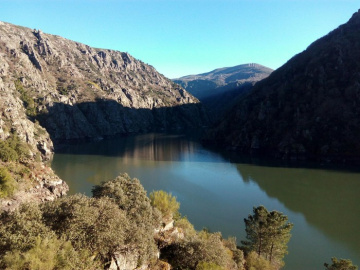
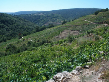
Along this certified twelve-kilometre linear route, we explore part of the Cabe Canyon, passing through a number of villages before finally making our way down past historical mills to the level of the river Sil.
 Directions
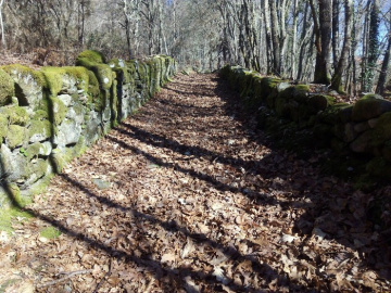
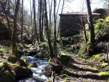
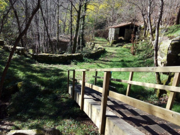
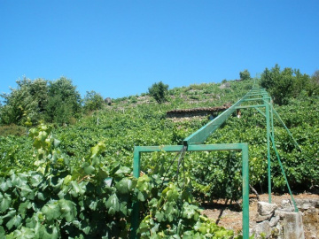
 The route starts in the village of Rosende, running along part of the Cabe Canyon through the typical terraced vineyards so characteristic of this area. We then climb up to the villages of Souto Novo and Hortás and enter a stand of pine trees. Dirt tracks take us to the Xabrega: a small stream along which we can see a number of restored mills. Following the course of this stream, we make our way down to the Os Chancís jetty on the river Sil, where the route finishes.


Don't miss!
We recommend the sightseeing trip by catamaran which leaves from the Os Chancís jetty, where the route finishes.
Photos of the route
Equipment and Services


Accessibility


 What would you improve?