
PR-G 157 Doade - Augasmestas Route

This 27-kilometre linear route runs through the beautiful landscapes and thick forests of the eastern section of the Sil Canyon. Along this trail, we will discover virtually abandoned villages, deep valleys and other rivers, such as the Lor.
 Directions
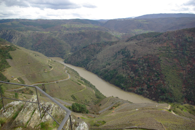
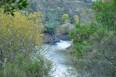
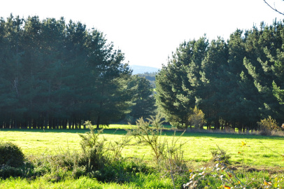
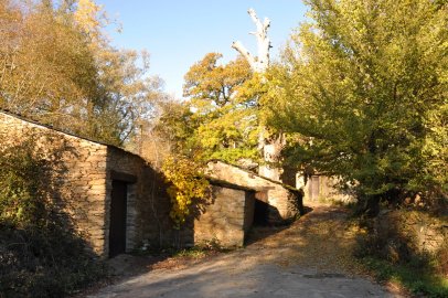
 This route starts in the hamlet of Doade, in the highest reaches of the Canyon's northern side. We start by visiting the spectacular Pena do Castelo viewpoint, which offers fine views of the vineyards and Canyon below us. Further along, we can find further examples of traditional villages, surrounded by green meadows and dense forest. We then start to move steeply downwards, to the level of the A Cubela meander. We continue walking along the banks of the Sil, to then cross a small bridge and begin to climb up through an extensive stand of pine trees. This leads us to the village of Vilachá, which has a number of wineries of mediaeval origin and where an annual Wine Fair is held. Lastly, we walk down through the vineyards, once again to the level of the Sil, and, further along, to the mouth of the river Lor, where our route ends.


Don't miss!
Close to this route, we can find additional viewpoints which are equally recommendable, including A Capela, O Duque and Souto Chao. In the surrounding area, there are also a number of wineries where we can taste high-quality wines and learn about their production process.
PR-G 157 Augas Mestas - Doade Route
Accessibility


 What would you improve?