

 Directions
Distance of the route
23.14 km
Time of the route
1 h 45 min
Itinerary of the route
Circular
Start
Casa do Concello de A Peroxa
End
Casa do Concello de A Peroxa
Difficulty
High
Difference in elevation
Up: 619 m
Down: 619 m
M.I.D.E. 0 0 0 0
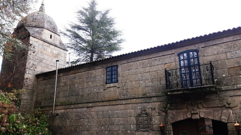
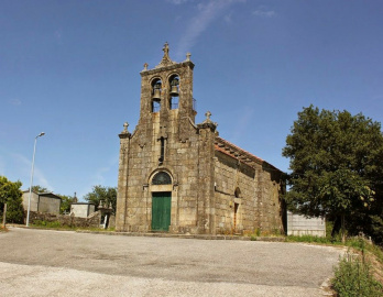
A fully signposted route of 23 kilometers that runs through the chestnut and oak forests of the municipality. It is a demanding route that alternates short and hard climbs with very technical downhill sections. In spite of not being an excessively long route, we can classify it as hard because of the uphill sections and the type of irregular surfaces. It is located within the Biosphere Reserve Ribeira Sacra e Serras do Oribio e Courel and has heritage elements to take into account such as the Castle of A Peroxa.
Paviment type: 4% road (1 km), 24% asphalted road (5.45 km), 5% asphalted road (1.17 km), 67% paths and traisl (15.52 km).
Elevation gain: 669 m
PDF road map here.

A Peroxa Cycle Tourism Route
Accessibility


 What would you improve?