
PR-G 236 Ruta da Castaña e do Mel

This circular path runs from the village of Salcedo to the Souto de Paramedela, bordering the Lor River valley and the Loureiro River.
 Directions
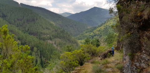
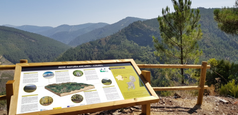
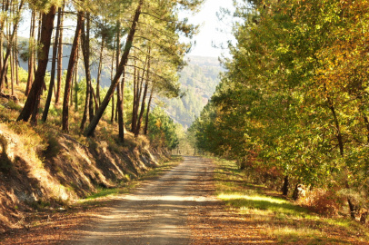
 The trail begins nearby Salcedo and soon becomes a wide dirt track. It will then fork, with two options. Continuing to the right, the path remains the same, mostly flat and crossing meadows, with reforestation and native trees. One kilometre further on, the trail begins to dip down significantly, a descent to the bottom of the valley of the Loureiro River, with fantastic panoramic views over the Lor River Valley and the Loureiro River. The Pena dos Pasos viewpoint have amazing vistas.
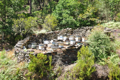
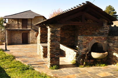
The descent continues until the path crosses the Loureiro River over a wooden bridge, ultimately reaching the Paramedela chestnut grove, managed by the Xunta de Galicia. There is a restored old drying shed that you can enter. The trail then ascends back to the fork and incorporates with the old Paramedela path. This path goes halfway up the mountainside and gradually through the typical oaks and chestnut trees native to the region: The trail will eventual return to the initial fork. Simply retrace your steps back to the starting point to finish the route.
Route partially suitable for mountain biking in the clockwise direction
PR-G 236 Ruta da Castaña e do Mel
Equipment and Services


Accessibility

Information and contact

A Pobra do Brollón
Lugo
 What would you improve?