
Trail 4 - Trail Running Center Castro Caldelas

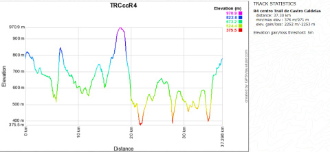
Red trail: expert - 37 km - 2,250 m inclination
 Directions
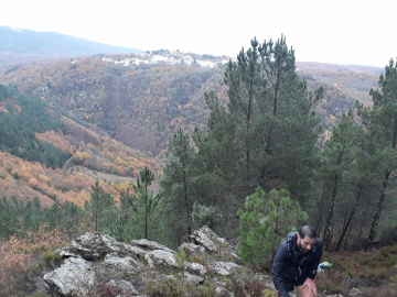
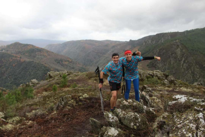
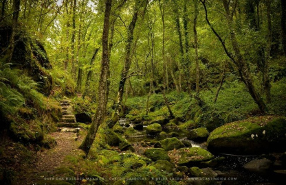
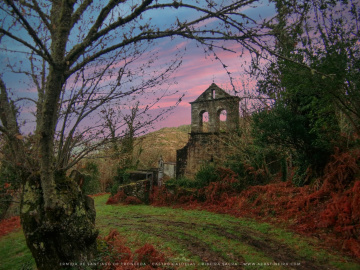
 Trail 4 or Ruta da Serra de Mazaira (Mazaira Highlands Route) starts at the same point as Trail 1, passing by the church and ruins of the monastery of San Xoán de Camba, including a vertical ascent to the Serra do Sobredo, a route parallel to the Sobredo River and the villages of the parish of Alais. It turns off to the Sierra de Mazaira next to Vilarello to enter the Tronceda Valley of thousand-year-old chestnut trees, ascending through Susaos to its highest point and descending through a fairly technical firebreak and a slippery area of centenary chestnut woods up to the path linking Carballeiras and Tronceda, with carved steps, waterfalls, woods of strawberry trees and a moss paradise.
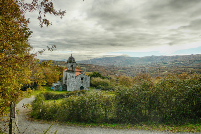
From Tronceda, the trail descends along Camino de Misa through closed woods and paths lined with centenary stone walls, crossing two rivers before ascending again next to the hermitage of Santiago and vineyards of the valley, eventually reaching Cova do Mario (Mario’s Cave), a favourite hideout for the Maquis resistance fighter Mario de Langullo during the Spanish Civil War. The trail then descends vertically to the Paradela River and rises at the old quarry until it joins the R3 until Castro Caldelas, crossing As Penas de Matacás vineyards, with a descent to Celeirón through the grape vines and vertical ascent to the Bosques Máxicos.
 What would you improve?