
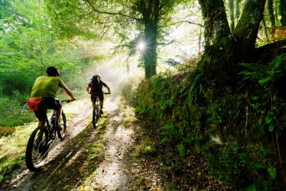
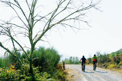
Gallery
Ribeira Sacra Nature Trail

ATTENTION: The route is not signposted for bicycles. The use of GPS is recommended.
 Directions
Distance of the route
22.53 km
Time of the route
1 h 45 min
Itinerary of the route
Linear
Start
Alto do Couso (Maceda/Esgos)
End
Estación de FFCC de Santo Estevo
Difficulty
Medium
M.I.D.E. 0 0 0 0
Its 23.5 kilometers have three trail lines: one that reaches the village of Melón de Abaixo; a second that leads to the village of Arcos and returns to the main road through an oak forest, and a third that begins at the monastery of Santo Estevo and ends at the road that runs along the Sil river.
Pavement type: 5% road (1.09 km), 25% asphalted track (5.80 km), 43% non asphalted track (10.15 km), 27% paths and trails (6.50 km).
Elevation gain: 344 m
PDF road map here.

Camino Natural Ribeira Sacra
Equipment and Services

Accessibility

 What would you improve?