
PR-G 266 Ruta das Aldeas de Montederramo

This route is a tour through the landscapes of Montederramo and some ethnographic elements that are testimony of how life used to be for many centuries in the rural mountain areas of Galicia.
 Directions
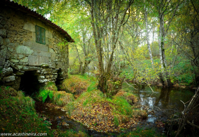
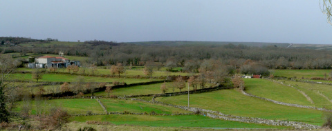
 It starts at fishermen's paths next to the Mao river until it reaches the Ponte Mazaira mill. From its recreational area, the river will be left behind, and will give way to meadows and old paths between stone walls.
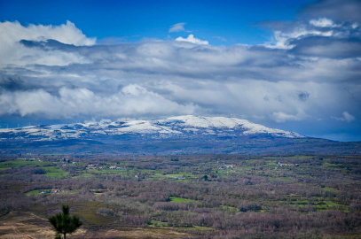
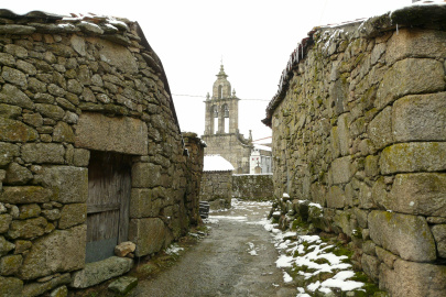
Then will start the ascent to the Serra do Burgo, with a spectacular panoramic view. A steep descent will lead us from there to the bottom of the valley. Paths between meadows, chestnut and oaks trees will allow us to discover villages that preserve part of the essence of mountain life, with traditional architecture resulting from the harshness of its winters.
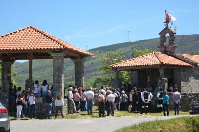
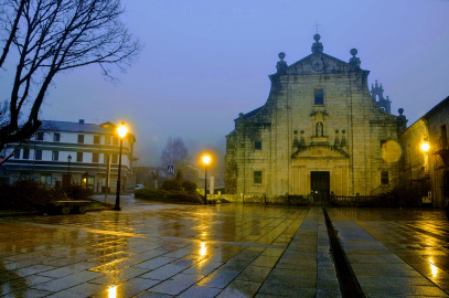
The path continues up to the religious ensemble of Marrubio and its beautiful polychrome cross. From here, a last ascent through the small plateau of A Franqueira will take us to the finish at the solemn Monastery of Montederramo, symbol of the ancient power of this territory of Ribeira Sacra.
PR-G 266 Ruta das Aldeas de Montederramo
Equipment and Services


Accessibility


 What would you improve?